Observe the landscape
Copernicus and Sentinel data, local weather, terrain, vegetation and field information.
 VERNA Login
We combine Earth observation, wildfire science and advanced modelling to deliver actionable intelligence for real-world decisions.
We are building the decision layer between Earth observation, wildfire science and the people responsible for communities, forests and infrastructure. A user should be able to explore a place, see changing conditions, compare possible fire paths, understand exposure, and choose preparedness or mitigation actions.
Our long-term digital twin would connect new satellite and field observations with model forecasts, response resources, actions taken and lessons from incidents. We will reach that goal through focused pilots, model validation and modular products first.
Copernicus and Sentinel data, local weather, terrain, vegetation and field information.
Dynamic hazard and risk maps, ignition scenarios, time-based spread and exposed assets.
Priority polygons, treatment choices, preparedness plans and feedback from real users.
Develop the demo, gather operational feedback and prepare focused pilots. AggNor is part of ESA BIC Norway pre-incubation.
Proposed first product: incident reporting, Earth observation, dynamic spread and exposure integrated into a usable workflow.
Investigate whether observations and uncertainty methods can improve short-term spread modelling through a bounded feasibility study.
Bring fire services, municipalities, forest owners and infrastructure operators together around preparedness and mitigation.
Seek further research funding to improve model reliability, data assimilation, evaluation and decision support.
Turn proven pilots into subscriptions, expand across Norway, then adapt the platform and local partnerships for selected European markets.
Each pilot answers a practical question before the platform expands.
One municipality and its fire service test priority polygons, infrastructure exposure, access and actions for communities at the forest edge.
Compare vegetation treatment priorities and feasible methods with landowners, using their knowledge of the land and its constraints.
Test how scenarios and mitigation records inform asset protection, forest insurance and preparedness decisions.
AggNor’s proposed plans turn hazard, spread and exposure analysis into local priorities. The tool suggests where to look; fire services, landowners and municipalities decide which actions are appropriate.
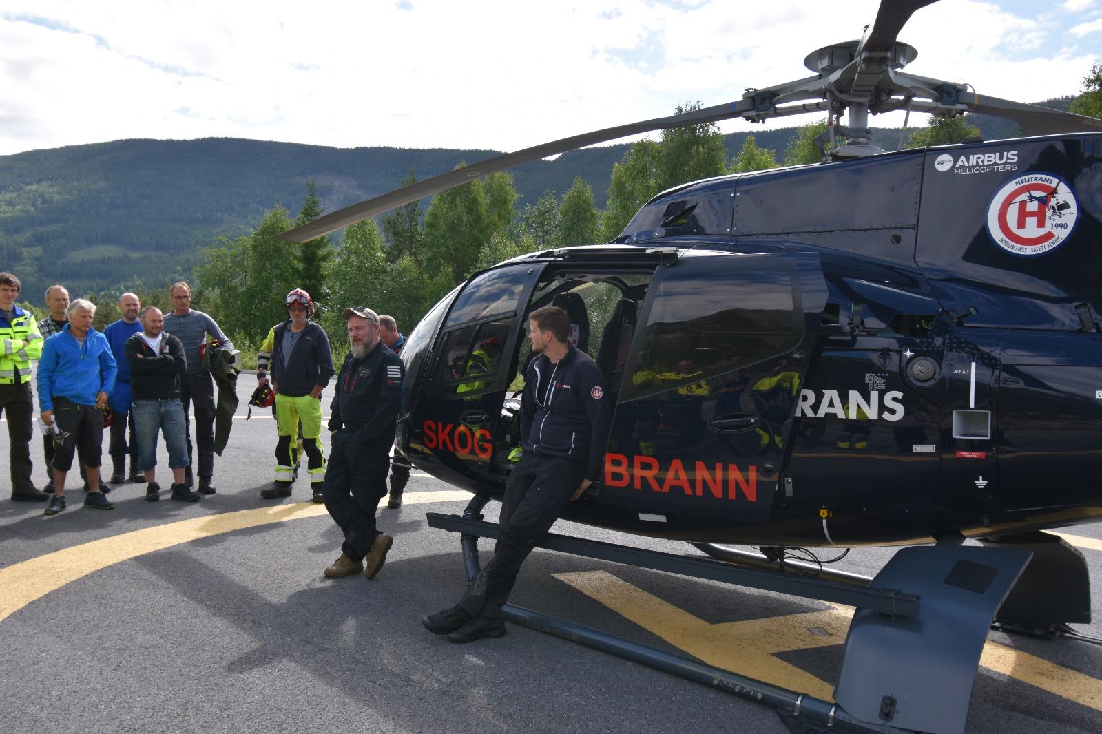
For a municipality and fire service, the map can define P1, P2 and P3 preparedness polygons. Selecting an area explains why it is prioritized, how many buildings or infrastructure assets fall inside, and which practical steps need local review.
Priority polygons can identify where reducing vegetation or changing fuel continuity may help. AggNor can present the likely exposure and scenario effect; forest owners, fire services and relevant authorities evaluate feasibility, ecology, cost and permits.
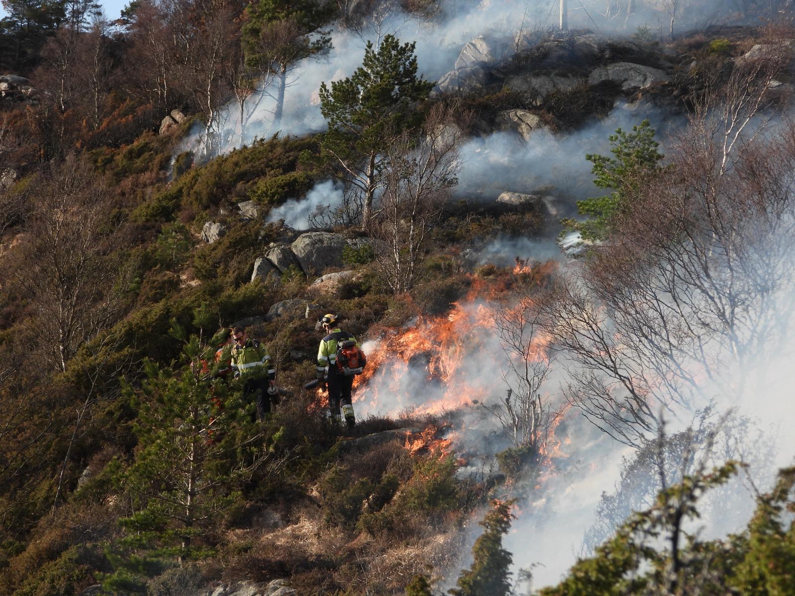
Planned burning can reduce accumulated vegetation in suitable heathland or forest settings. The plan identifies candidate areas; trained practitioners assess season, weather, smoke, ecological goals and approvals.
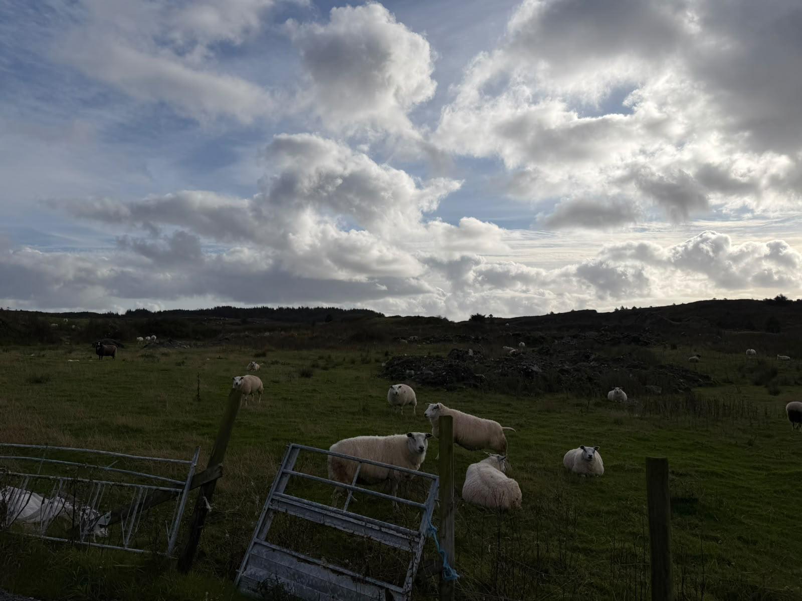
Targeted grazing can keep grasses and shrubs lower in accessible areas. The plan can help landowners compare location, timing, animal welfare, fencing and the need for repeat visits.
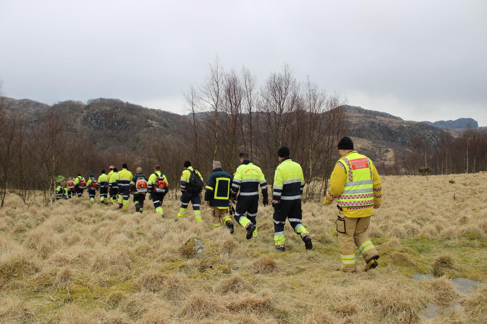
Selective cutting, brush removal and thinning can open strategic access or reduce dense vegetation near assets. The plan flags candidate corridors and areas for field assessment and maintenance.
Use local ignition scenarios to discuss spread, changing weather, exposed assets and where to position resources.
Structured exercises using maps and time-based scenarios to connect wildfire behaviour with preparedness and response decisions.
Bring municipalities, forest owners and infrastructure operators around one landscape to compare priorities and measures.
Training content and delivery are developed with instructors and operational users; certification is not implied.
Talk to us about a pilot, product demonstration, training or research collaboration.